Run one region's hops through it.
Send the hop list for one region and the clearance envelope you plan against. We will tell you whether the imagery calendar can meet your trim budget date.
Start a pilotToday
Today you learn that from a degraded link or a crew visit.
With Link Vegetation Monitor
Link Vegetation Monitor estimates canopy height along every hop in your pilot region once a year and ranks the hops by how far the canopy reaches into your clearance envelope.
CH-01 The job today
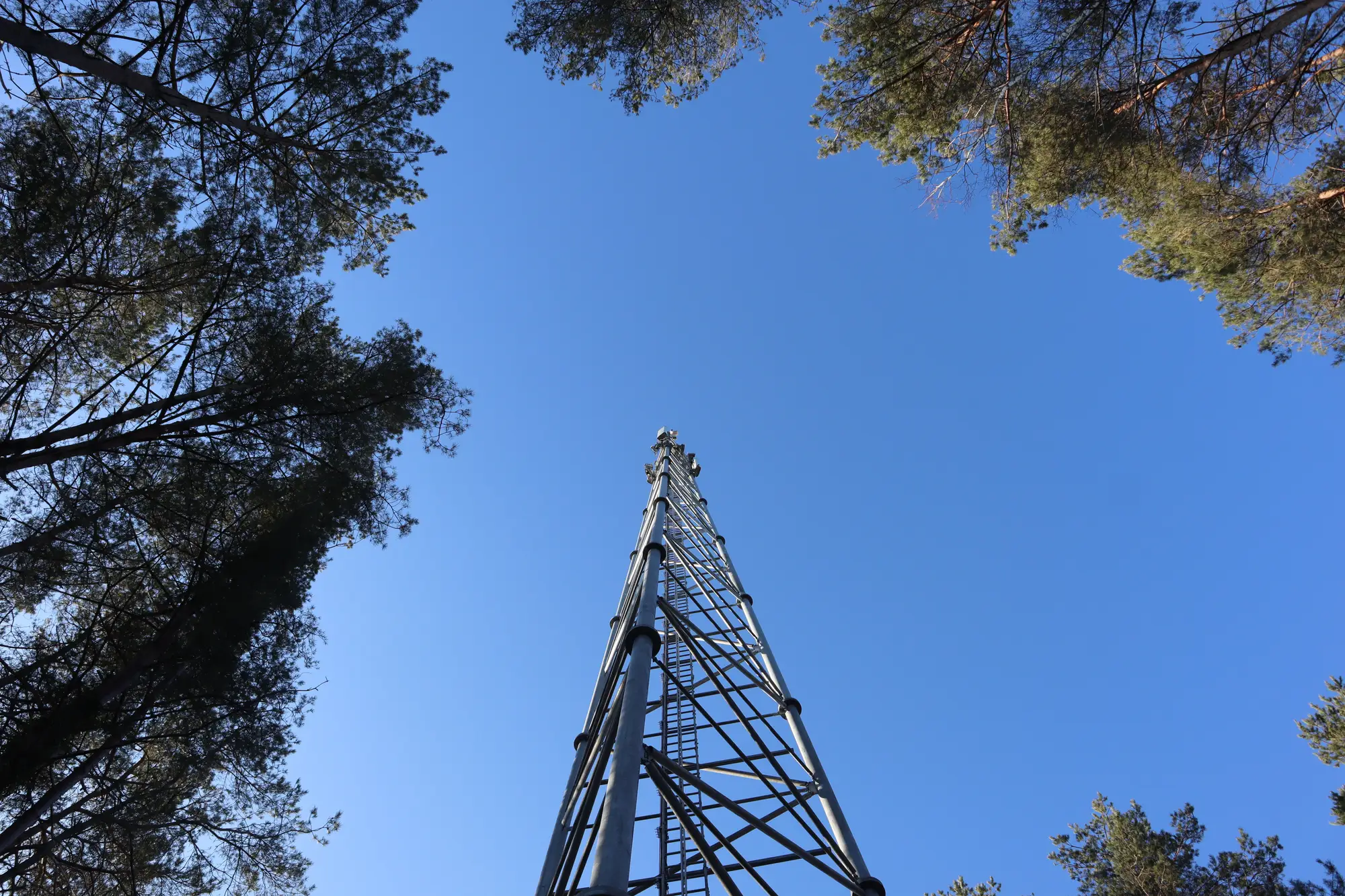
The path profile was clean the day the link was designed. Since then the trees along the hop have kept growing, and nobody is measuring them. The planner hears about it when signal quality on the hop starts to slip and a ticket comes in, or when a crew visiting for something else notices the canopy has closed in.
Then the question is which other hops look the same, and the only way to answer it is to send people to look. The trim budget has already been set by then.
CH-02 Comparison
CH-03 What you get
PDF or CSV
One entry per hop with canopy height against your Fresnel clearance envelope along the path. Delivered once a year for the pilot region, tied to the ledger rows on deciding and measuring.
LedgerDeciding which hops need looking atMeasuring against clearance
GeoPackage
A 3D canopy-height estimate along each hop's corridor, for your GIS team to overlay on the link layer. It is an estimate, and close calls are a reason to inspect.
CSV
Hops sorted by how far canopy reaches into clearance, with hop ID and the stretch of path where it happens. It is the list your crew works from.
LedgerBuilding the trim list
CSV
The same ranking laid out for field scheduling, so the coordinator can raise work orders in order.
CH-04
T1
You send your link paths or hop list, with site coordinates and the clearance envelope you plan against. Mark the hops in the pilot region.
T2Growing season
We take an annual multispectral pass along each path corridor, timed to land ahead of your trim budget.
T3
Canopy height is modelled along each path and set against your Fresnel envelope.
T4
You receive the encroachment report, the flag list and the trim-priority export. We go through the top of the list with you on a call.
Trim budget fixed
CH-05
A crew on site sees the species, the lean of a tree and whether the landowner will let you in. The report sees none of that.
CH-06
CH-07 FAQ
No. It tells you which hops to visit first. A flagged hop is checked on the ground before a contractor is booked.
No. It flags physical encroachment risk against your envelope. It does not read signal quality or fade margin.
Choose a few hops your crews have visited recently and hold back what they found. Compare our flags with theirs hop by hop and decide whether the ranking is good enough to plan with.
It is an estimate from imagery, and we do not quote an accuracy figure. Treat close calls as a reason to inspect, not a certainty.
Annual cadence means growth between passes can outrun the report. Plan a trim buffer for the stands that grow fastest.
Annual is the cadence on offer.
The outputs are a report, a GIS layer and CSVs keyed to your hop IDs, so a GIS or spreadsheet can read them. We do not write into your link database or work-order system.
Ownership and licence terms for the deliverables and the imagery are written into the pilot agreement before anything is ordered. Ask for them early if your legal team needs to review.
We scope and quote a pilot for your region. Tell us how you buy services and we will fit the pilot to that.

Send the hop list for one region and the clearance envelope you plan against. We will tell you whether the imagery calendar can meet your trim budget date.
Start a pilot