Blog
Canopy height model vs. ground survey: verifying a vegetation encroachment flag
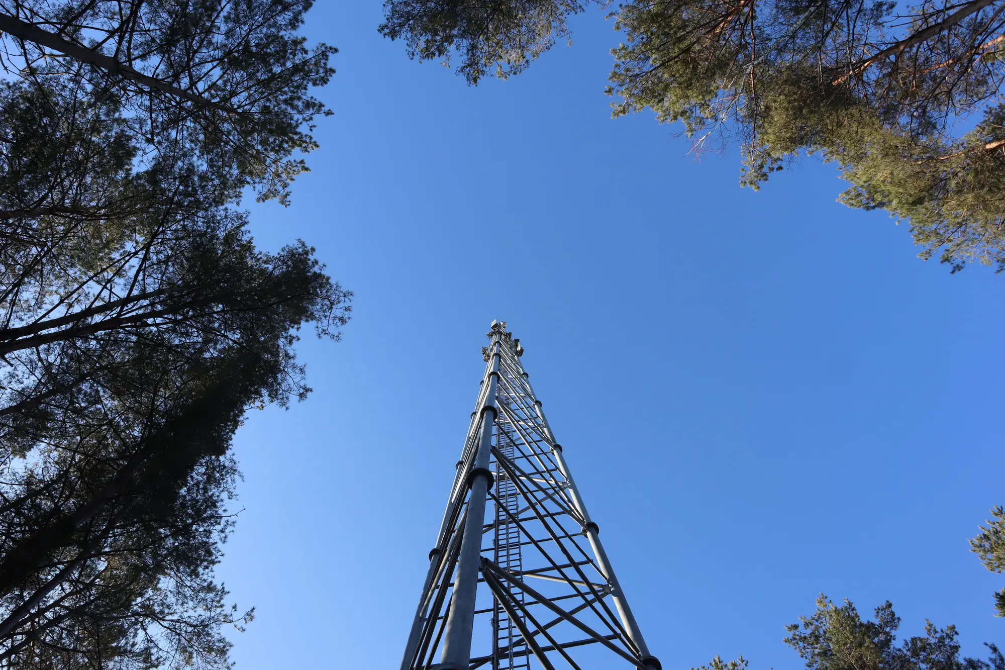
A flag shows up on your encroachment report: canopy height on hop 14 is sitting inside the Fresnel zone, third span from the near end tower. Before you dispatch anyone, it helps to know what that number is actually built from, and where it can be wrong.
What a canopy height model is built from
A canopy height estimate comes from matching a digital surface model (the top of whatever's there, trees included) against a bare-earth terrain model, then taking the difference. Run that along your link path and you get a height profile you can lay against your Fresnel clearance envelope, span by span. Where the two lines cross, that's your flag.
It's a good first pass because it covers the whole hop at once, including the middle spans nobody drives past on the way to the tower. The limits are predictable too. Canopy models built from satellite passes smooth over individual branches, so a single leaning limb that's already in the zone this week might not show up until next year's pass catches the growth behind it. Dense broadleaf stands can also return a slightly soft top-of-canopy height compared to a conifer stand with a cleaner silhouette. None of that changes the direction of the trend. It just means the number is an estimate of canopy height, not a laser shot off one tree.
When the ground survey earns its keep
A ground check answers a different question: what species the vegetation is, how fast it grows, and what's under the cable or the drip line that a crew needs to work around. That's worth knowing before you schedule trimming, because a fast-growing poplar stand and a slow conifer with ten more years of headroom get very different treatment windows.
Where a ground survey falls short is coverage. Sending a crew to walk a hop means walking every span, through whatever's between the two towers, which on a rural backhaul route can mean a creek bottom, private land you need access for, or terrain nobody's going to walk twice a year just to check. It's also a point-in-time look. The crew sees a single day's snapshot of that span; comparing the growth curve on that stand to last year's is a job for the annual passes.
So the two aren't competing methods. The canopy height model is what tells you where on the route to send someone. The ground survey is what the crew does once they're there.
A workflow that doesn't waste a truck roll
For a flagged span, the practical sequence looks like this: confirm the margin first. If the canopy sits well inside the clearance envelope, that's worth a crew. If it's right at the edge, next year's pass is likely to settle it on its own. Check whether the flagged stand is new growth or something that's been close for a couple of annual passes and just crossed the line. Then route the crew to that specific span instead of the whole hop, with the species and access notes they'll need once they're on site.
That last part is where most of the time savings sit. A planner who used to walk every hop on a rotation now only sends someone to the spans the model flagged, and shows up with a height number and a location instead of a general "go check the vegetation on hop 14" instruction.
One thing worth remembering: the canopy height model won't tell you if a landowner has already cleared a stand since the last pass, or if a storm took down a tree that wasn't near the path at all. The model works off a fixed annual cadence, so anything that changes between passes is a gap the next report closes, not something it catches in real time.
If you're trying to get ahead of outages on routes you're currently checking by memory or by complaint ticket, an annual per-link encroachment report against your clearance envelope is the thing to put in front of your next trim budget conversation.