Blog
Satellite canopy height data vs walking the hop for link path surveys
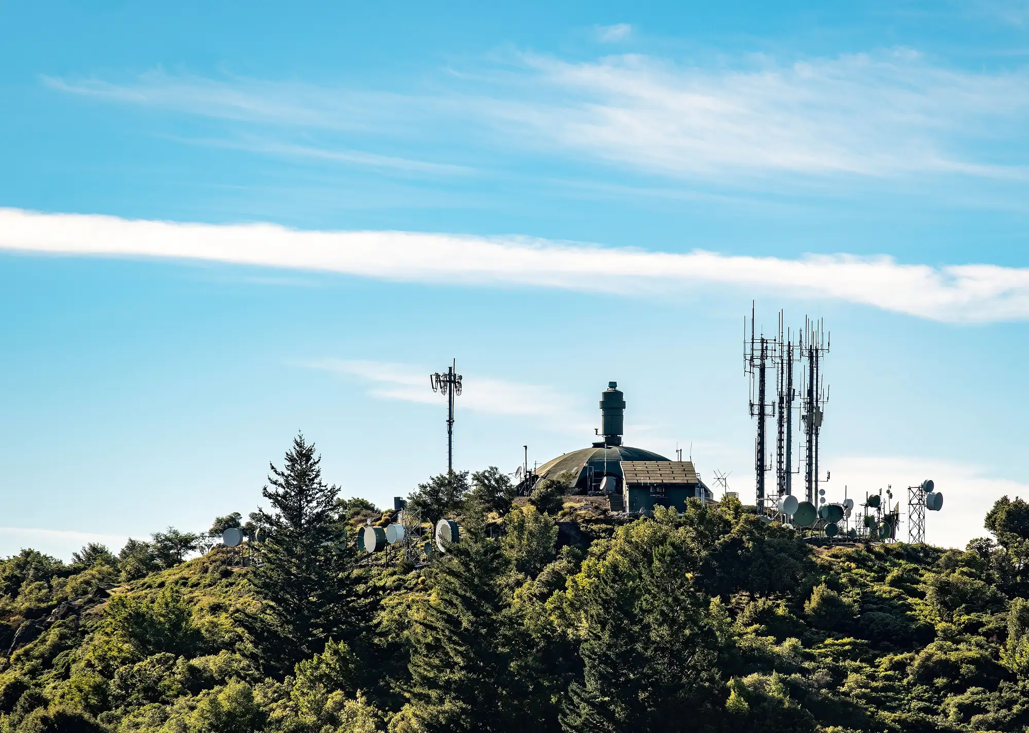
A path survey for a microwave hop used to mean one thing: somebody walks it, or drives as close as the access roads allow, carrying a clinometer and a mental model of where the Fresnel zone sits relative to the tree line. That's still how a lot of operators do it. The question worth asking before the next survey cycle is whether a canopy height model built from satellite imagery gets you the same answer faster, or whether it's missing something the crew on the ground would catch.
What a ground crew walk actually gives you
Walking a hop puts eyes on the actual vegetation along the path, not a model of it. A crew can tell the difference between a stand of fast-growing poplar and a slow-growing oak, which matters for how soon you need to come back. They can spot leaning trees that haven't fallen yet, dead timber that's a storm away from being a problem, and access issues that affect whether a trim crew can even get equipment to the base of a tower-adjacent tree.
What it costs you is time and access. A single hop might run a few kilometers of right-of-way, but if it crosses private land, wetland, or terrain without a road, someone has to get permission, plan a route, and physically cover the ground. Across a network of a few hundred hops, that's weeks of field time for a once-a-year check, longer still if encroachment only gets flagged after a link has already dropped.
What a canopy height model adds
A canopy height model built from high-resolution multispectral satellite imagery does a narrower job well. It estimates vegetation height along the entire path corridor, at sub-meter resolution, without anyone driving a truck. Run that height estimate against your Fresnel clearance envelope for each hop and you get a ranked list of where canopy has grown into, or close to, the zone that actually affects signal.
A ground walk tells you a tree is there. A canopy height model tells you how tall it's grown relative to the clearance envelope at that exact point along the path, run the same way across every hop in the network, on the same schedule.
What it doesn't give you is species, structural condition, or access notes. It won't tell you a tree is already leaning or that the right-of-way gate has a new lock on it. For that you still need someone on site, just only at the hops the model flags, not all of them.
Where each one fits
For a handful of problem hops, especially ones with recent fault tickets or known access issues, a crew walk still earns its cost. You get ground truth, and you need it before signing off on a trim.
For prioritizing where to send that crew across a full backhaul network on an annual cycle, a canopy height model does a job a walk can't do economically: a complete, path-by-path sweep that catches hops closing in on the Fresnel zone before they degrade, rather than after a fault ticket points you there. Our overview of annual vegetation encroachment reporting for microwave links covers how that sweep gets delivered per hop, with canopy height plotted against clearance at every point along the path.
Most RF planning teams end up running both, in that order. The satellite pass finds the hops worth a second look. The walk confirms what the trim crew needs to know before they're dispatched.
If your last encroachment check was a reactive walk after a signal-quality complaint, it's worth seeing what an annual canopy sweep would have flagged first.