Blog
What is a clearance margin in a microwave link vegetation report?
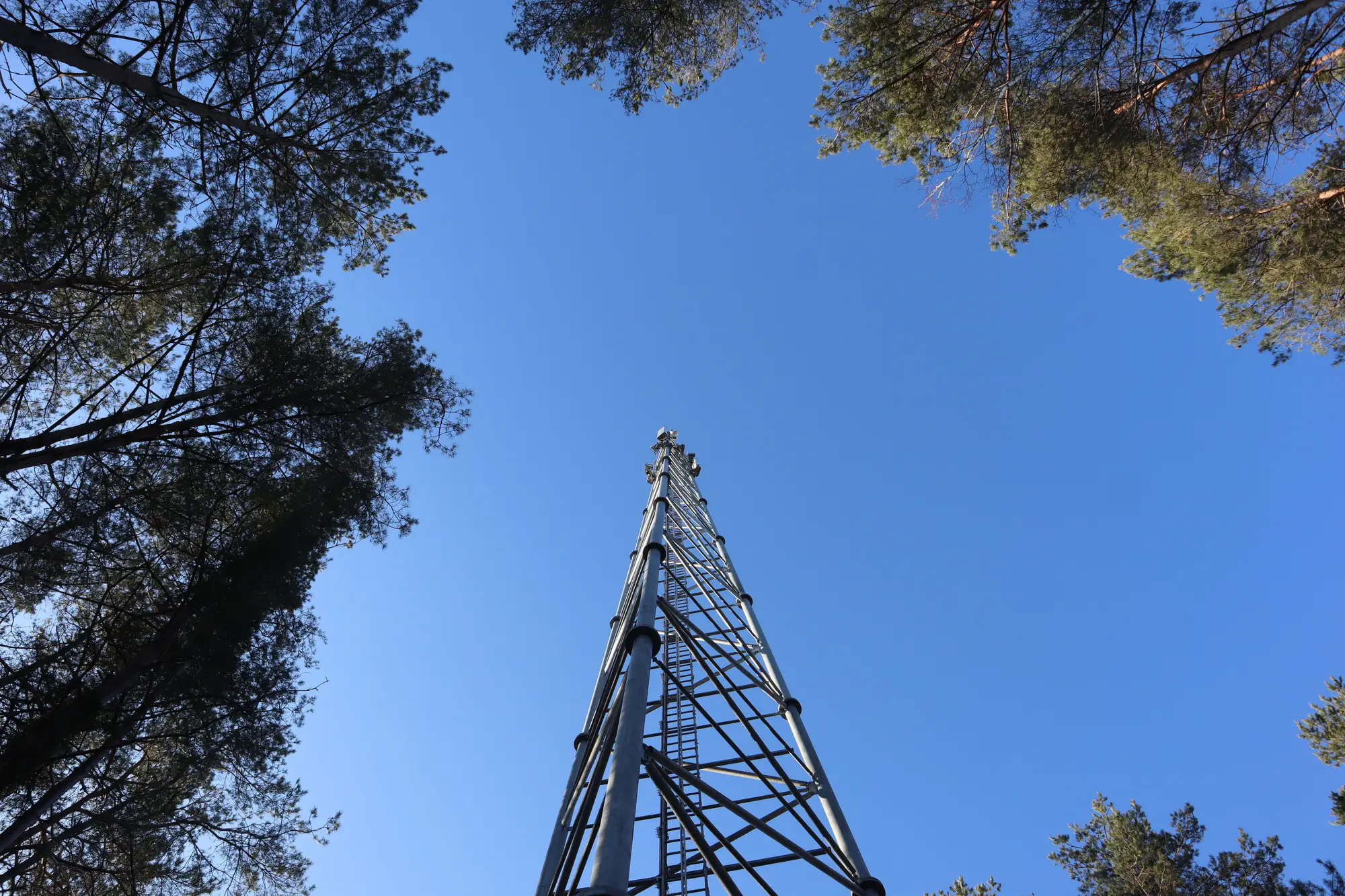
A clearance margin is the number that tells you how much room is left between whatever is growing under a hop and the edge of the zone your signal needs clear. On a vegetation report it shows up as a distance, usually in meters, at the worst point along the span: canopy height plus ground elevation, subtracted from the Fresnel radius at that exact spot. Positive number, you're clear. Negative, or close enough to zero that next season's growth closes the gap, and you've got a trim job before it's a fault ticket.
That sounds simple until you've tried to pull it off a topo map and a guess at tree height from the last time someone drove the access road. Most operators don't have a clean clearance-margin number for every hop in the network. They have a design file from when the link went in, a rough idea of what the vegetation looked like then, and no update since.
Where the Fresnel clearance envelope comes from
The Fresnel zone is a three-dimensional ellipse around the line-of-sight path between your two antennas. At mid-span the ellipse is at its widest, several meters across depending on frequency and hop length. Near each tower it narrows down to almost nothing, because the radius at any point along the path scales with distance from both ends. Most of your signal energy rides inside that ellipse, not just along the centerline, which is why a tree standing well below the line-of-sight path can still eat into link performance if it's tall enough to poke into the ellipse's lower edge.
The convention most planners work to is keeping the first Fresnel zone at least 60% clear of obstruction along the whole path. Lay that 60% boundary over the terrain profile for a given hop, and you've got the clearance envelope: a curve that's high near the towers and low in the middle, which is exactly the shape that makes mid-span sag in a tree line the thing that bites you first.
Reading canopy height against clearance
A canopy height model is just that curve's opposite number. Instead of where your signal needs room, it's where the trees are, measured as height above ground across the same path. Put the two together, canopy height on one axis, the Fresnel envelope on the other, plotted along the length of the hop, and the clearance margin is the vertical gap between them at the tightest point.
What makes this harder in practice than it sounds: canopy height isn't static. A stand of pines growing two feet a year looks fine in this year's survey and tight in three years. A clearance margin of one meter today is a maintenance window, not a passing grade, especially on paths where the vegetation is fast-growing and nobody's walked the right-of-way since the install.
What a per-link encroachment report shows
A report built around this idea does the overlay for you, hop by hop, and flags the spans where canopy height is eating into the envelope or trending that way. That's different from a general vegetation survey of the area, and different from waiting for a signal-quality complaint to tell you something's wrong. Link Vegetation Monitor runs this as an annual pass, multispectral and high-resolution, specifically to catch growth against the Fresnel clearance envelope before it turns into a degraded link.
The output is a per-link encroachment report: canopy height against your clearance envelope, span by span, so a planner can schedule a trim crew where the margin is actually closing instead of sending one to walk every hop on a guess.
If you're trying to put a clearance-margin number on every span in your network without a crew walking each one, that's the gap this report is built to close.