Blog
What is a line-of-sight survey in microwave backhaul planning?
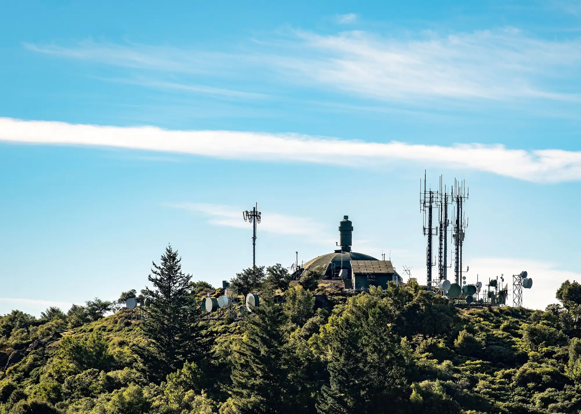
A line-of-sight survey is the check you run before you build a microwave hop: does antenna A see antenna B, with room to spare for the radio wave to behave the way the link budget assumes? It sounds like a simple question. Getting the answer right takes a path profile, an obstruction survey, and usually a site visit or two.
What goes into the path profile
The path profile is the elevation cross-section between your two towers: ground height, tower height, antenna height, every rise and dip along the straight line between them. You plot that against earth curvature and a standard refractivity factor (k-factor, usually 4/3), then draw the Fresnel zone around the line, the cigar-shaped volume where most of the signal energy travels. Clearance rules vary by operator and frequency, but a common target is keeping the first Fresnel zone at least 60% clear of obstructions at the worst-case k-factor.
The obstruction survey is where you check what's sitting inside that volume: terrain, buildings, other towers, trees. Terrain and buildings are static once they're built. Trees are not. A stand of pine at 12 m today can be 18 m in eight years, and growth is the one input to the clearance math that most hop surveys treat as settled the day the link goes live and never revisit.
Higher-frequency bands narrow the Fresnel zone and make links more sensitive to rain fade, which is usually the design focus during planning. A narrower zone means less canopy growth is needed before a branch sits inside it, so vegetation stays part of the clearance math at any band.
Why the hop survey doesn't end at commissioning
Most RF teams run the line-of-sight survey once, at design time, using whatever mix of terrain data, LiDAR, or ground photos was available for that corridor, then file the report. That's the right call for terrain and structures. It's the wrong call for vegetation, because canopy height keeps changing after the link is live and nobody owns re-checking it.
A hop that cleared the Fresnel zone by 4 m at commissioning can be down to 1 m five years later if there's a treeline anywhere near the path, and nothing in the original survey tells you that happened. Most operators find out the same way: a fault ticket, a fade event during wet weather, or a technician on-site who notices the trees are a lot closer to the dish line than they remember. By then the fix is an emergency trim or a path realignment, both more disruptive and more expensive than a trim scheduled during a normal maintenance window.
Walking every hop on foot to re-check canopy height against the clearance envelope works, but it doesn't scale past a handful of links, and it only catches what the crew happens to notice that day. Link Vegetation Monitor runs that same comparison from satellite imagery instead, checking canopy height along each path against your Fresnel clearance envelope once a year and flagging the hops where vegetation has grown into the zone.
If vegetation clearance hasn't been re-checked on your network since the original hop surveys, it's worth putting an annual canopy pass in place before the next fade event tells you where things stand.